Genscape Landviewer
B2B, Energy + Construction
Genscape is the world’s largest network of patented and proprietary monitoring technologies.
Enhanced Search Capabilities
Genscape’s LandViewer service is an online dashboard and in-season reporting service that allows corn buyers to assess availability, manage supply chain risk and identify regions to be impacted by above or below average yields. The technology-meets-manufacturing brand works specifically with in-field monitors, satellite reconnaissance, artificial intelligence and maritime freight tracking to display real-time data national grain market’s performance.
As the leading provider of real-time data and intelligence for commodity and energy markets, Genscape’s expertise matched perfectly with our Midwest values.
Our work with Genscape began with their BioFuels system. But our relationship then extended to their LandViewer service.
Dashboard
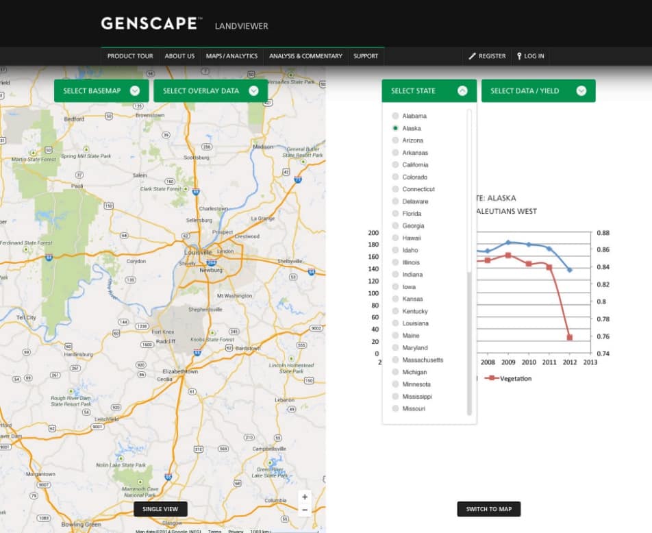
We helped the manufacturing brand create a dashboard that shows dual-level, real-time views of the most critical variables to the industry, including:
- Predictive yield and production.
- Corn relevant weather variables.
- Pricing data.
- Ethanol production data at the county, state and national levels.
Our Analytics + Insights Team used dashboards we normally use for client reporting to pull all of this information together.

The dashboard used a combination of LandViewer’s historical data, national yield regressions and fundamental crop data to deliver highly accurate projections of crop yields on a national level to inform trading strategies.
This data, available before any market reports, allows for more precise price modeling and risk management strategies. Users benefit from granular data reports and bi-weekly virtual roundtable meetings with industry experts during the growing season (June – September). This data, available before any market reports, allows for more precise price modeling, hedging and risk management strategies.


At its final, the LandViewer combines intensive crop scouting and geospatial technologies to help corn growers access land use and crop progress through the season. It also provides daily corn and vegetation progress using NASA Satellite data, corn relevant weather variables, crop stress variables and stochastic projection of yield and harvested acres in advance of market reports.
Website


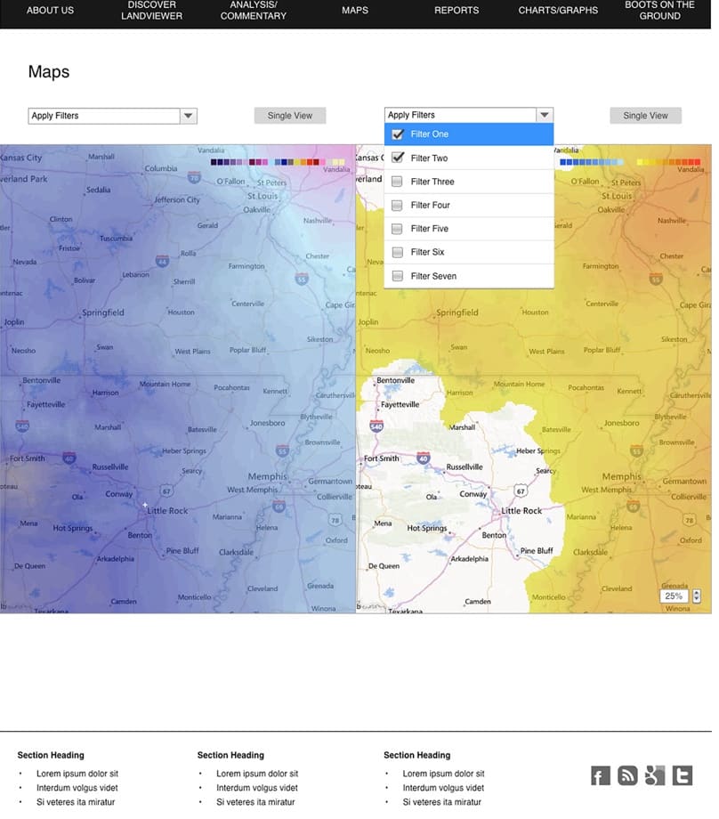
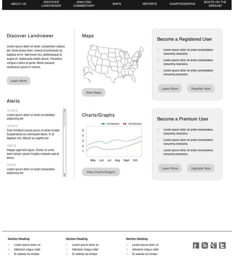
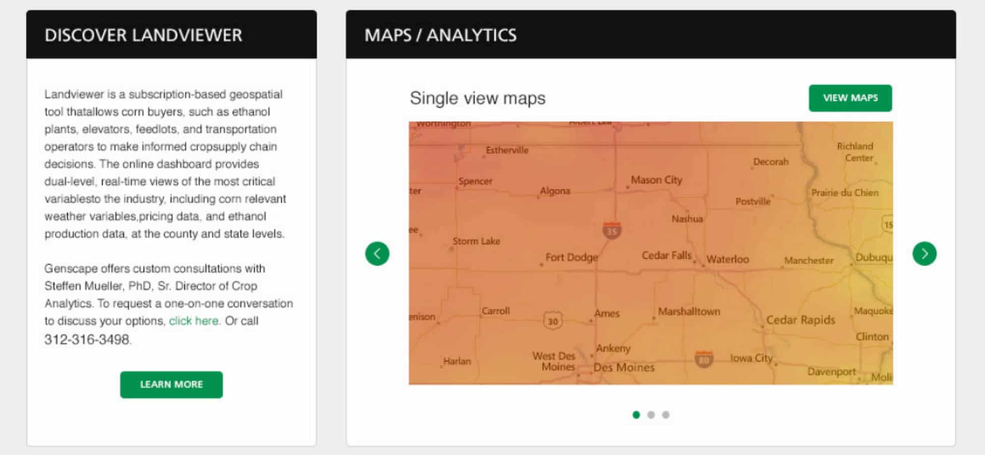
Our UX team created a site that combined maps, analysis, pricing options and many more of the LandViewers’s features in one spot. By using a modular, grid layout, the format of the site was both interactive for consumers and easily updated by administrators.

Connect With Us